





















Drone Photography: Discover New Perspectives
Experience and present your site, your property or its surroundings from a new perspective. Our drone shots provide an exact overview and capture every detail, for images you have never seen before.
Outstanding Perspectives
The ideal angles for visualization and analysis: our aerial shots deliver detailed results for reliable measurements and unique impressions.
Detailed Insights
Drone and aerial photography give you a detailed view of existing buildings and terrain that would not have been visible with conventional photography.
Precise Data Capture
Detailed topographic results in real time: our high-resolution drone shots make it possible to create exact maps and images, for an exceptionally precise overview.
Cost-Efficient Drone Photography
Versatile applications at low prices: especially compared with conventional data capture methods, our drone technology enables particularly efficient aerial photography, with impressive, unique perspectives.
Unlimited Reach
Flexibility that classic photography cannot match: we offer first-class drone and aerial photography that gives you a planned, vertical view of even the most inaccessible places.
The Ideal Basis for Visualization
Our drone shots are the ideal basis for subsequent 3D visualization work: aerial photos of the surroundings make it possible to create particularly realistic, convincing project visualizations.

An Overview from Above
For agriculture, residential construction and other industries, drone shots and aerial photos are an invaluable resource. They offer a wide range of uses and deliver detailed, precise results. The resulting aerial images give an exact overview of the structure of even very inaccessible areas, which is impossible with conventional methods.
Essential Project Views
A valuable tool for companies in both B2B and B2C: drone and aerial photography impress with unmatched perspectives and unique insights, and they enable particularly detailed data capture and presentations. With our drone imagery, you get attractive views of properties and their surroundings, and with them compelling arguments for marketing and sales.

How your visualization is created
Learn more about our 3D visualizations, the process and how we work together.

Step 1: Briefing & documents
You send us your plans (CAD, BIM, floor plans, sketches). In a short call, we clarify perspectives, mood and target audience.

Step 2: 3D modeling & draft
We build the 3D model of your project and send you a rough draft for review. At this stage, you can adjust perspectives, materials and details.

Step 3: Fine-tuning & rendering
Once you approve, we render the final images in 4K quality. Includes 2 revision rounds so everything is just right.

Step 4: Delivery & usage rights
You receive all files in print-ready resolution with full usage rights, ready for sales brochures, construction site signs, your website and social media.
We find the best solution for you
Get in touch nowDrone Imagery and Aerial Photography for Your Project's Success
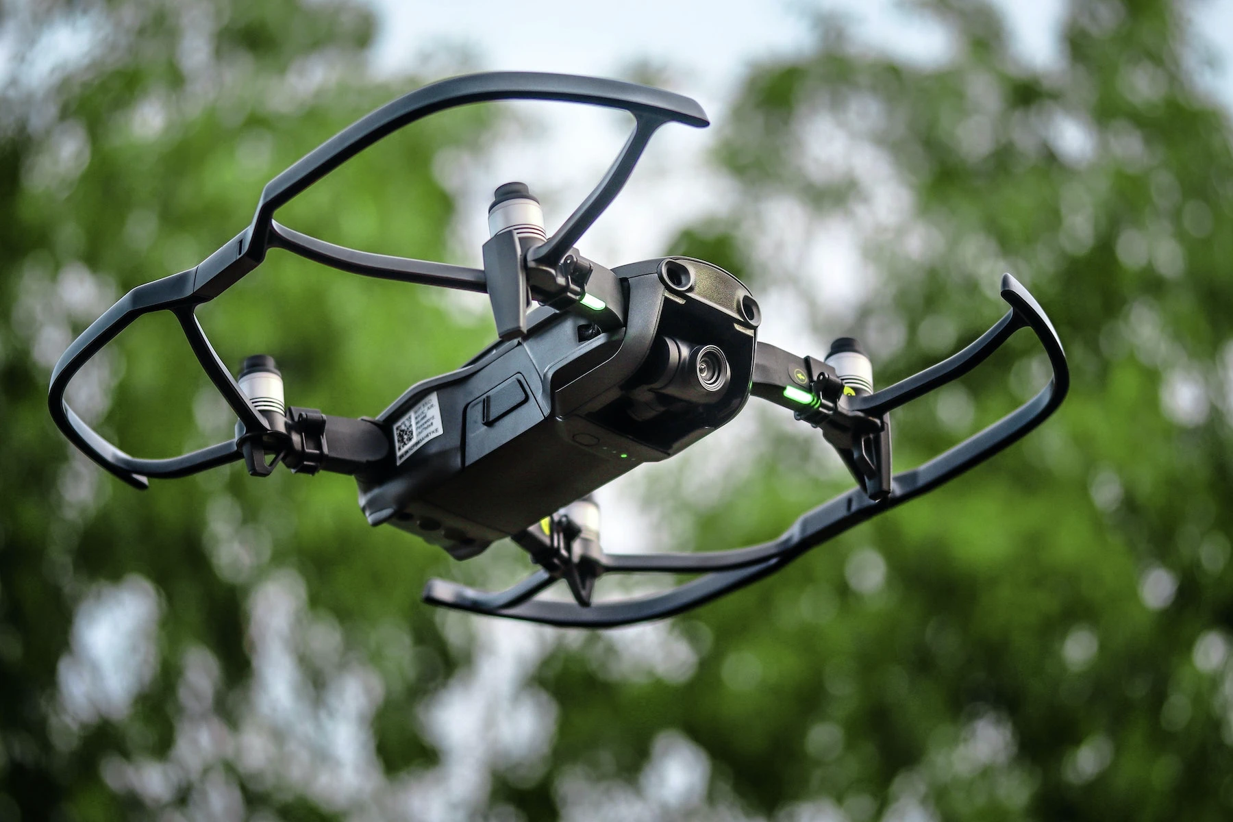
With our professional drone photography, we deliver impressive aerial shots from a bird's-eye view. Our aerial images capture precise impressions from meaningful perspectives and give you a detailed view of existing buildings and terrain that would not have been visible with conventional photography. The aerial shots provide an exact overview even of very inaccessible areas, which would be impossible with conventional methods. Our drone imagery lets you monitor construction progress, identify obstacles and assess cities and landscapes. Our modern drone technology enables particularly efficient aerial photography at low prices, with high-resolution results. These are the ideal basis for creating exact maps and images, or for later modification and additions with professional 3D visualizations. Drone and aerial photography are a valuable tool that lets companies capture data and create presentations in particular detail.